The Power Of GIS Mapping For Environmental Monitoring And Management
In this article
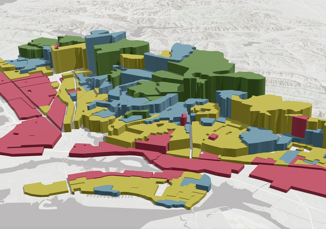
A Geographic Information System is a computer-based tool that collects, stores, verifies, and displays data related to location on Earth’s surface. Through the GIS technologies, various types of data, such as streets, buildings, and vegetation, can be displayed on one map. This technology helps to view, analyse, and comprehend patterns and relationships easily.
GIS applications consist of hardware and software systems that utilize various data types, including map, photographic, digital, or spreadsheet data. Map data is pre-existing and can provide information such as the location of rivers, roads, hills, and valleys. Cartographic data, including survey and cartographic information, can be directly inputted into a GIS. Additionally, interpreting photographs is a crucial component of such systems.
After entering all the necessary data into the GIS system, you can create many maps by combining different data. What is a GIS mapping application? Comparing natural features with human activity is one of the most useful applications of this technology.
Thanks to GIS technology, detecting artificial objects within a specific area is now possible. It means that we can locate homes and businesses in the regions that may be vulnerable to flooding. Updating maps is also made more convenient with this technology as it eliminates the need for manual updates. Add the updated data to an existing GIS mapping program and view it on your device’s screen without creating a new map.
Benefits of GIS Mapping for Environmental Monitoring
Geospatial systems are commonly utilized to monitor and assess environmental changes. With the help of the GIS interactive map, you can easily spot new features on the planet’s surface and track their progress over time.
Environmental impact analysis is a crucial initiative for conserving natural resources and the environment. Many human activities, such as the construction and operation of highways and the disposal of radioactive waste, harm the environment. GIS is an effective tool for implementing this initiative and is used to assess natural features.
GIS mapping software is now well-developed and one of the most successful disaster management and mitigation tools. This technology enables us to manage and analyse risks, helping to identify areas prone to natural disasters or unnatural disasters. It helps to plan and take preventive measures on time.
GIS technologies play an important role in land use and land cover applications. It is to help identify changes in land use or land cover in specific areas and to detect and evaluate changes in structure. Thus, we can see land use and cover changes due to natural forces or other factors, including deforestation.
GIS-based decisions can also be utilized for assessing landslide hazards. It involves collecting spatial data and efficiently processing and integrating hazard zoning.
Wetlands play an essential role in promoting a healthy environment. They help retain water during dry periods. Wetlands can also reduce flood levels and trap suspended solids and nutrients during floods. Mapping wetlands and designing conservation projects can be done quickly and accurately using GIS technology. Remote sensing data also allows for the mapping of wetlands at different scales. GIS can help to create a digital wetland data bank with comprehensive information.
Applications of GIS Mapping in Environmental Monitoring and Management
Geospatial change detection is widely used for various purposes, including tracking changes in forest area, crop status, urbanization, glacier melt, and land use. In addition, this technology makes it possible to detect climate changes in the world’s oceans caused by anthropogenic activities. Using GIS tools such as EOSDA LandViewer, built by satellite analytics provider EOS Data Analytics, users can compare satellite imagery from different sources in a user-friendly platform to detect changes.
Geospatial technology helps to understand the scale of the problem and plan an adequate response. Change detection also enables analysing the development of natural disasters and extreme weather events to take action to further respond to such events.
Abnormal rainfall is a common occurrence these days. As a result, the occurrence of floods is also increasing, which is one of the indicators of climate change.
Massive flooding in Sindh, Pakistan, in August 2022 killed 24 people and injured 18. Many of the victims died under the collapsed roofs and walls of buildings. Downpours during the rainy season are a severe threat to the inhabitants of this country since the drainage and sewer systems are outdated.
GIS technology and remote sensing were used to assess flood damage. By comparing satellite images for different dates and applying different spectral ranges and their transformations, it was also possible to understand the dynamics and magnitude of the flood. The resulting NDWI change detection map made it possible to determine the degree of flooding of the rivers and the affected area.
This example demonstrates how image change detection through GIS can aid disaster relief efforts. It provides valuable insights for assessing the extent of damage and verifying insurance claims. Additionally, the analysis results can assist in planning the safe construction of residential and other structures.
Challenges and Limitations of GIS Mapping for Environmental Monitoring and Management
GIS mapping is a crucial tool for environmental monitoring, but it comes with several challenges. Data availability and quality can be a hindrance, requiring updates and consistency to ensure accuracy in analysis and decision-making. Additionally, technical expertise is needed to operate the GIS software and interpret results. Proper training can help ease this issue. Data integration can also pose problems, especially when data comes from different organizations or is stored in various formats. Finally, the cost of software and hardware can be high, making it difficult for some organizations to invest in technology.
There are also several limitations associated with the use of GIS. For example, the spatial resolution of GIS maps can be a limitation when monitoring and managing small areas or specific objects.
In addition, several factors affect the accuracy of GIS mapping. These factors include the data’s quality, the terrain’s complexity, and the accuracy of the equipment used to collect the data. Interpretation of GIS mapping results can be subjective and depends on the knowledge and experience of the analyst.
Thankfully, there are numerous solutions available to address these issues. One approach is for organizations to enhance the quality and accessibility of environmental data by creating improved data standards, sharing data with other organizations, and investing in new data collection technologies.
Training and capacity building for GIS mapping can also help overcome technical knowledge barriers. Another option is to develop data integration protocols and standards to integrate data from various sources more effectively.
Open-source GIS software is also an affordable alternative for organizations that need more money to afford commercial GIS software. Finally, implementing quality control measures for data collection and analysis can enhance the accuracy and reliability of GIS mapping results.
Conclusion
The environmental sciences frequently use GIS and remote sensing technologies. Thanks to them, it’s possible to quickly analyse complex spatial data and present it visually as images. A comparison of the current ecological crisis can be made in the shortest possible time, and preventive measures can be taken.
In addition, you can quickly access stored data, improve work efficiency, and make decisions based on the availability of GIS data. The technology finds its deep application in emergency operations, which can provide real-time information.